A groundbreaking artificial intelligence system is set to transform landslide prediction, delivering life-saving alerts with unprecedented accuracy.
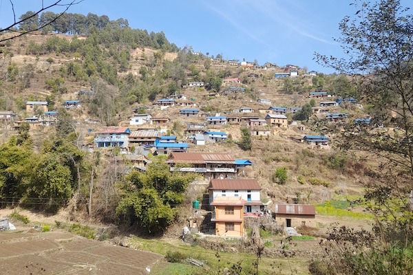
Professor Antoinette Tordesillas, leading a team of scientists from the Universities of Melbourne, Tribhuvan (Nepal), Florence, and Cambridge, is spearheading the development of SAFE-RISCCS. This cutting-edge system, currently being tested in Nepal, is a collaborative effort with the Government of Nepal and Australia’s Department of Foreign Affairs and Trade.
By integrating advanced mathematical modelling of saturated granular material failure with AI-driven analysis, SAFE-RISCCS processes precipitation and ground motion data collected from ground-based, airborne, and satellite instruments. Utilising near real-time imagery from the European Space Agency, NASA, and the Japan Aerospace Exploration Agency, the system can detect early warning signs of landslides—accurately predicting when rain-soaked terrain is on the brink of collapse.
This powerful fusion of mathematics and technology has the potential to save countless lives, ushering in a new era of disaster preparedness for landslide-prone regions worldwide.